
Home Projects Kasempa Gold & Copper Exploration Project

Kasempa Gold & Copper Exploration Project

Operational Support

Reliable energy solutions with advanced operational support.

Oilix
Oilix

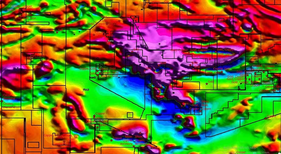
The Kasempa Exploration Project, located in the eastern part of Kasempa, Zambia, is one of Xglobe Exploration Limited's ongoing mineral exploration initiatives. Our multidisciplinary team is conducting comprehensive remote sensing exploration, detailed geological mapping, and advanced geophysical surveys to assess the area's mineral potential and identify prospective exploration targets.

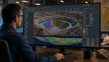
By integrating satellite-based remote sensing, geological field investigations, geophysical data acquisition, and modern exploration techniques, we are evaluating geological structures, mapping rock formations, and identifying potential mineralized zones. The high-quality exploration data generated through this project supports informed exploration planning, future resource evaluation, and sustainable mineral development while adhering to industry best practices and international exploration standards.

Frequently Asked Questions

Common Questions About the Kasempa Exploration Project

Find answers to frequently asked questions about the Kasempa Exploration Project, including its exploration objectives, geological mapping, remote sensing, geophysical surveys, and the technologies being used to assess the area's mineral potential in eastern Kasempa, Zambia.

The Kasempa Exploration Project is an ongoing mineral exploration initiative by Xglobe Exploration Limited in eastern Kasempa, Zambia. The project aims to evaluate the area's mineral potential through integrated geological mapping, remote sensing, and geophysical investigations.

Our exploration program includes satellite-based remote sensing, detailed geological mapping, geophysical surveys, geological sampling, field investigations, and data interpretation to identify prospective mineralized zones and geological structures.

Remote sensing provides valuable geological information before fieldwork begins. It helps identify structural features, alteration zones, lithological variations, and potential exploration targets, improving the efficiency of field investigations.

Geophysical surveys help investigate subsurface geological conditions by collecting scientific data that identifies geological structures, mineralized zones, and exploration targets. These results support informed exploration planning and future drilling decisions.

The primary objective is to generate reliable geological and geophysical data, evaluate the mineral potential of the project area, identify prospective exploration targets, and support future resource evaluation and sustainable mineral development.

Xglobe Exploration Limited combines experienced geologists, modern exploration technologies, remote sensing, geological mapping, geophysical investigations, and scientific data interpretation to deliver reliable mineral exploration solutions that support responsible resource development across Zambia..