
Home Services Geophysical Surveys

Geophysical Surveys

Oilix

Xglobe Exploration Limited provides comprehensive Geophysical Survey services across Zambia, delivering accurate subsurface investigations for mineral exploration, mining, groundwater exploration, engineering, and infrastructure projects. Using advanced geophysical technologies and scientific interpretation, we help clients identify geological structures, mineral deposits, and underground features with confidence.

Our experienced geophysicists utilize modern survey techniques including magnetic, electrical resistivity, electromagnetic, gravity, seismic, and ground penetrating radar (GPR) methods to generate reliable geophysical data that supports informed decision-making, reduces exploration risks, and enhances project success. In addition to our operations in Zambia, we provide specialist geophysical consulting and technical support to selected projects across East Africa and Southern Africa.

Key Benefits

Delivering Accurate Subsurface Intelligence Through Advanced Geophysical Surveys

Our geophysical survey services provide reliable subsurface data that supports informed decision-making for mineral exploration, mining operations, groundwater investigations, infrastructure development, and environmental studies. By combining advanced technologies with expert interpretation, we help clients identify geological structures and exploration targets with greater confidence.

Through modern geophysical methods and scientific analysis, we reduce exploration uncertainty, optimize drilling programs, improve resource evaluation, and contribute to efficient and sustainable project development across West Africa.

Experienced senior geophysicists with extensive expertise delivering geophysical surveys across West Africa.

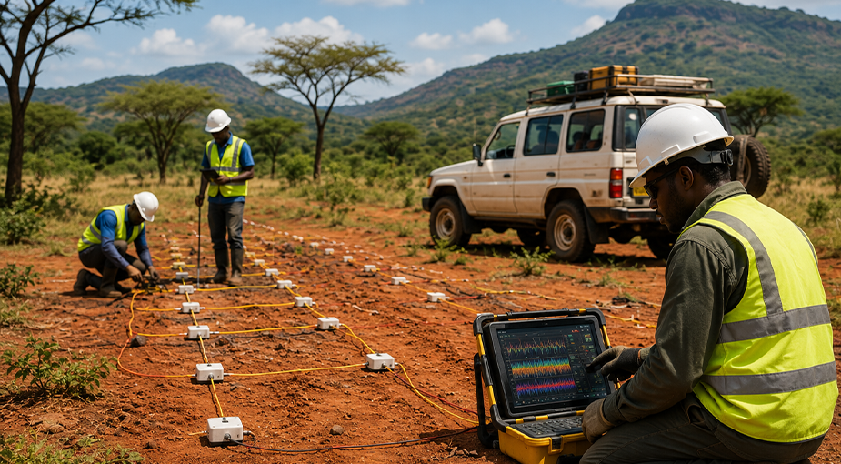
Comprehensive ground magnetic, radiometric, electrical resistivity, electromagnetic, seismic, and ground penetrating radar (GPR) surveys.

Independent auditing, supervision, and quality assurance of airborne and ground geophysical survey operations.

Professional geophysical survey planning, technical consulting, and exploration recommendations tailored to project objectives.

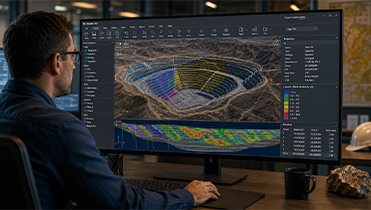
Advanced processing, modelling, visualization, and interpretation of geophysical datasets for accurate subsurface analysis.

Dedicated ground geophysical survey teams experienced in desert, Sahel, woodland, and tropical rainforest environments.

Professional interpretation of airborne geophysical data to identify geological structures and mineral exploration targets.

Quality control (QA/QC) procedures for both ground and airborne geophysical survey data to ensure accuracy and reliability.

Integrated geophysical and geochemical exploration programs that optimize field operations and reduce overall exploration costs.

Reliable geophysical solutions supporting mineral exploration, groundwater investigations, engineering projects, and resource development.

4.9

Trusted Geophysical Survey Partner for Mining, Exploration & Infrastructure Projects

Frequently Asked Questions

Common Questions About Our Geophysical Survey Services

Learn more about our geophysical survey services, including magnetic, electrical resistivity, electromagnetic, gravity, and seismic surveys for mineral exploration, groundwater investigations, engineering, and infrastructure projects across West Africa.

We provide comprehensive geophysical survey services including magnetic surveys, electrical resistivity surveys, electromagnetic surveys, gravity surveys, seismic investigations, subsurface mapping, and geophysical data interpretation for mining, groundwater, engineering, and environmental projects.

Geophysical surveys help identify subsurface geological structures, mineralized zones, faults, and exploration targets without extensive excavation, reducing exploration risks while improving drilling accuracy and resource evaluation.

Our geophysical surveys support mining companies, mineral exploration firms, groundwater developers, engineering consultants, infrastructure contractors, energy companies, environmental organizations, and government agencies throughout West Africa.

We utilize advanced magnetic, electrical resistivity, electromagnetic, gravity, seismic, GPS mapping, and digital data acquisition systems to produce high-quality subsurface information and reliable geological interpretations.

Yes. Our electrical resistivity and other geophysical techniques are widely used to identify groundwater aquifers, estimate drilling depths, and support sustainable groundwater development for commercial, industrial, and community projects.

Xglobe Exploration Limited combines experienced geophysicists, advanced survey equipment, modern data processing technologies, and extensive regional expertise to deliver accurate, reliable, and cost-effective geophysical survey solutions that support successful exploration and infrastructure development across West Africa.