

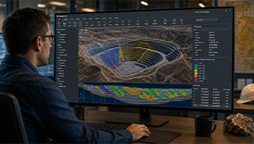
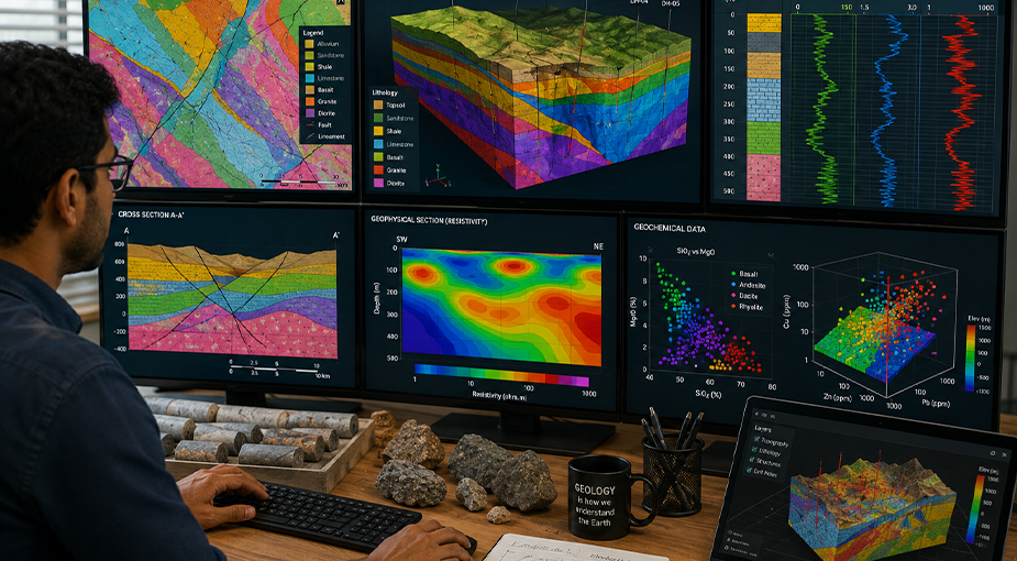
Xglobe Exploration Limited provides advanced GIS & Database solutions across Zambia, transforming geospatial and geological data into valuable insights for mining, mineral exploration, environmental management, land administration, and infrastructure projects. Our GIS specialists deliver accurate mapping, spatial analysis, remote sensing, and database management to support informed decision-making and efficient project planning.
By integrating Geographic Information Systems (GIS), GPS technology, remote sensing, drone mapping, and centralized geospatial databases, we help clients efficiently collect, manage, analyze, and visualize spatial data for improved operational performance and sustainable resource development. In addition to our operations in Zambia, we provide specialist GIS and geospatial consulting services to selected projects across East Africa and Southern Africa.